Mushroom Map
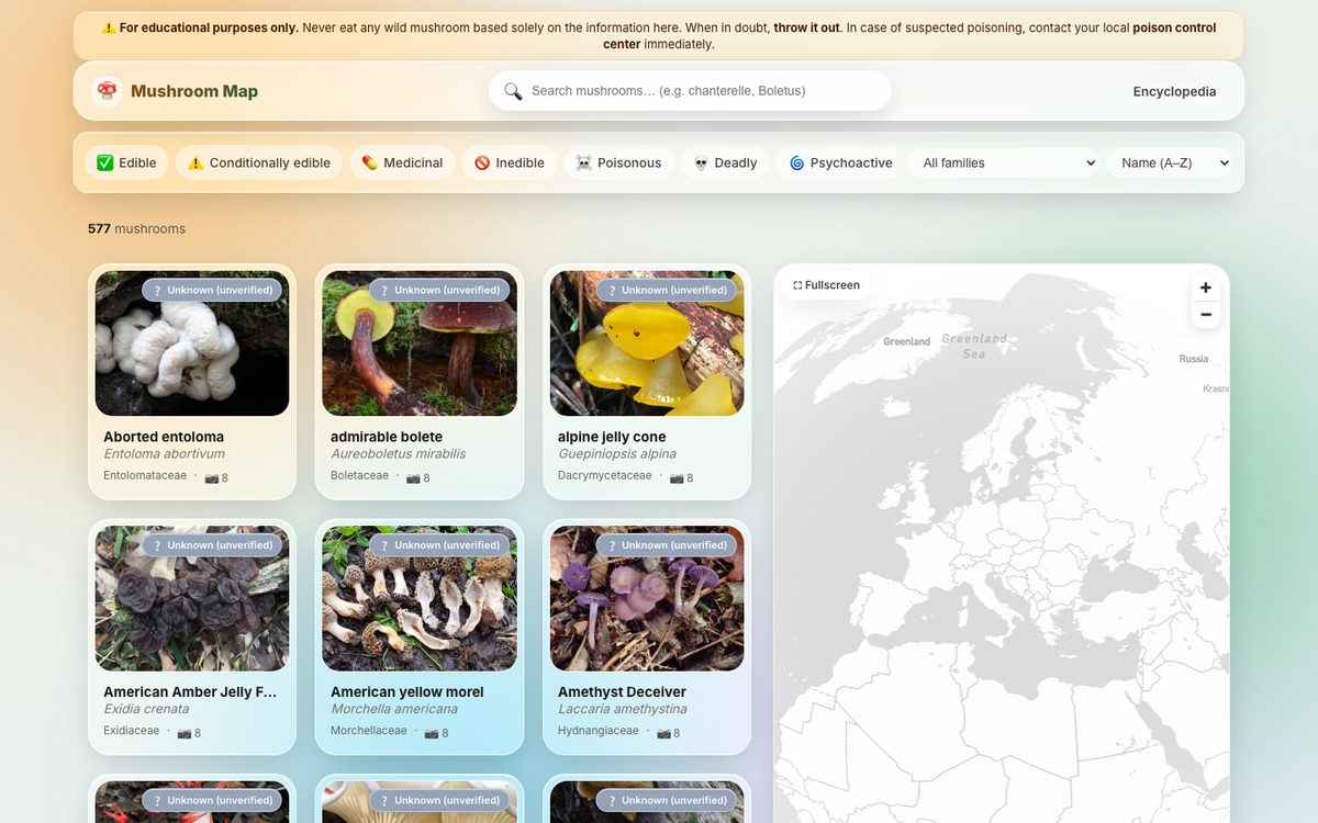
An interactive mushroom encyclopedia — 577 species with photos, taxonomy and edibility, plus a global occurrence map of 30k+ records. Client-side clustering, live search, filters and per-species detail pages. Fully static.
Hi, I'm Sebahattin “Seb” Kumpınar — a GIS & geospatial web developer with 10+ years of full-stack experience (front end + back end). I design fast, beautiful, custom mapping apps with Mapbox GL, Leaflet, OpenLayers and Google Maps — powered by GeoServer and PostGIS. Below are live demos from real client projects.
Every card is a real, clickable demo. Filter by the mapping platform.
An interactive mushroom encyclopedia — 577 species with photos, taxonomy and edibility, plus a global occurrence map of 30k+ records. Client-side clustering, live search, filters and per-species detail pages. Fully static.
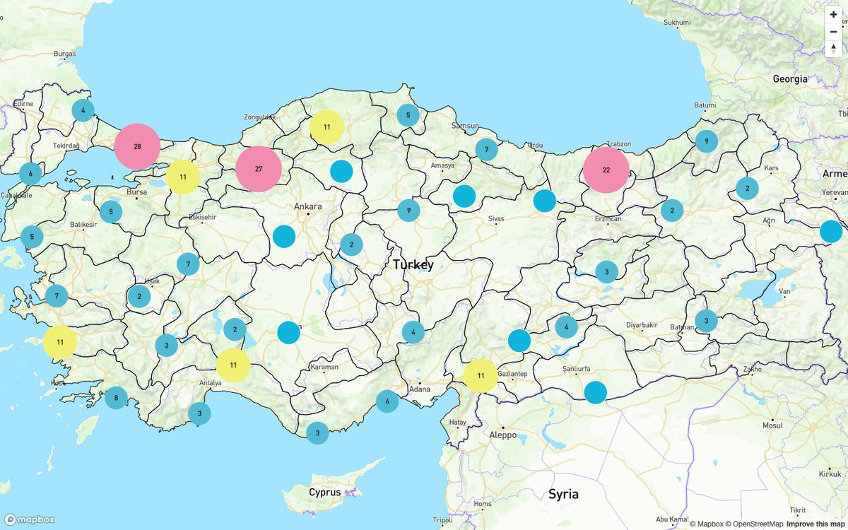
Explore every national park in Turkey on a clustered, interactive map with rich custom popups and smooth zoom-to-cluster behaviour.
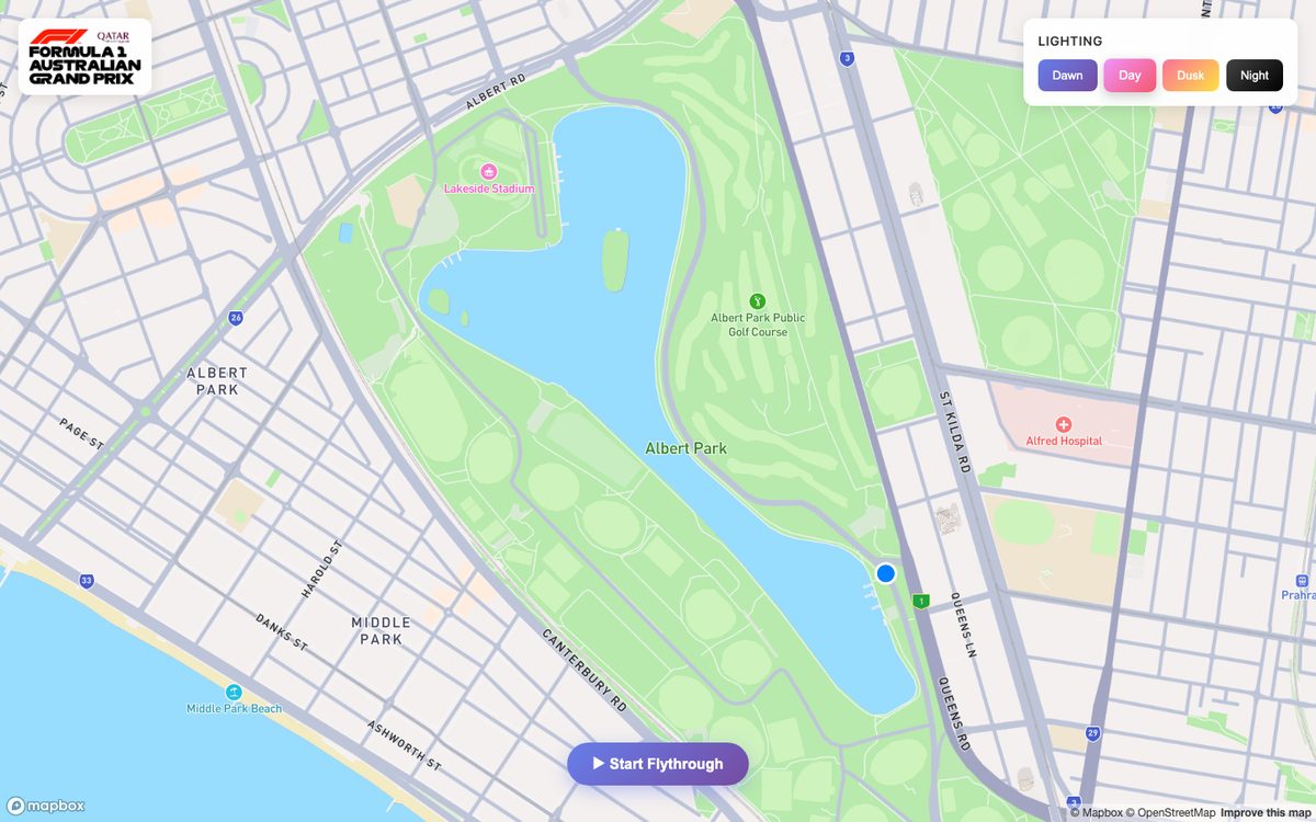
A cinematic 3D flythrough of the 1953 Australian Grand Prix circuit at Albert Park — animated camera path, custom 3D buildings and switchable day / dusk / night lighting.
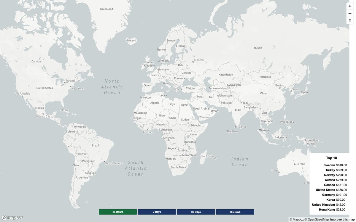
Worldwide sales visualised by country with switchable time ranges (24h / 7d / 30d / 365d) and a live top-10 leaderboard that updates with the map.
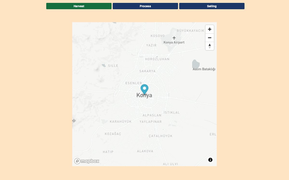
Supply-chain storytelling — follow a product from harvest to processing to sale with staged fly-to animations that guide the viewer step by step.
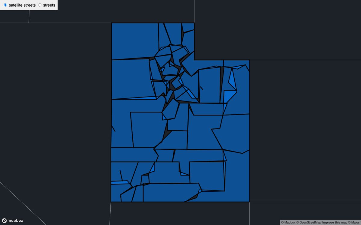
Region tagging and labelling across Utah using GeoJSON polygons, with a satellite / streets basemap switcher and per-area interaction.
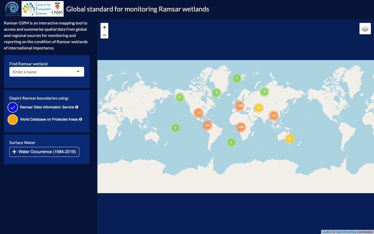
A GIS tool built for UNSW's Centre for Ecosystem Science to monitor Ramsar wetlands worldwide — clustered sites, multiple boundary sources and satellite water-occurrence layers.
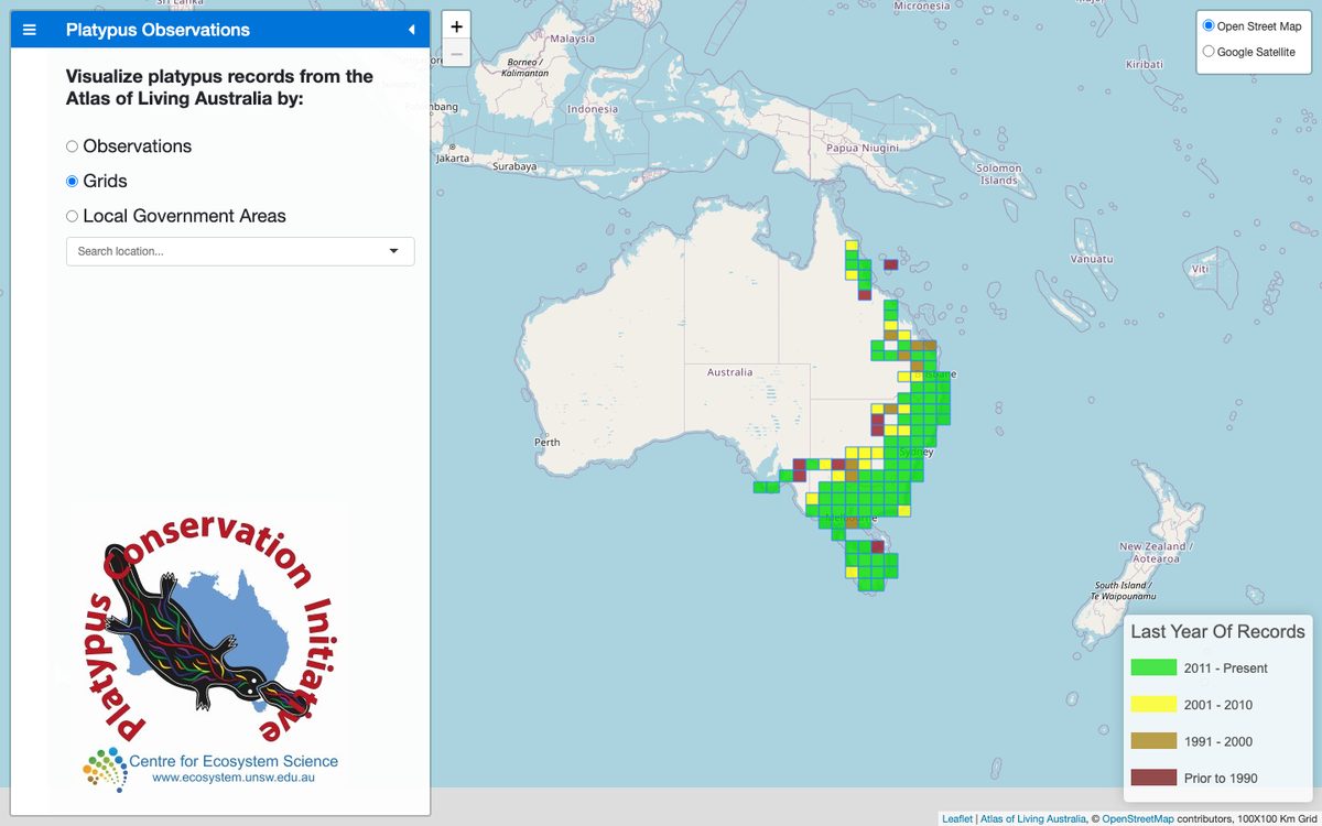
A citizen-science species-distribution atlas drawing on the Atlas of Living Australia — toggle between observations, grids and local-government areas with a time-coded legend.
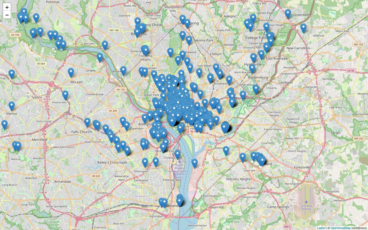
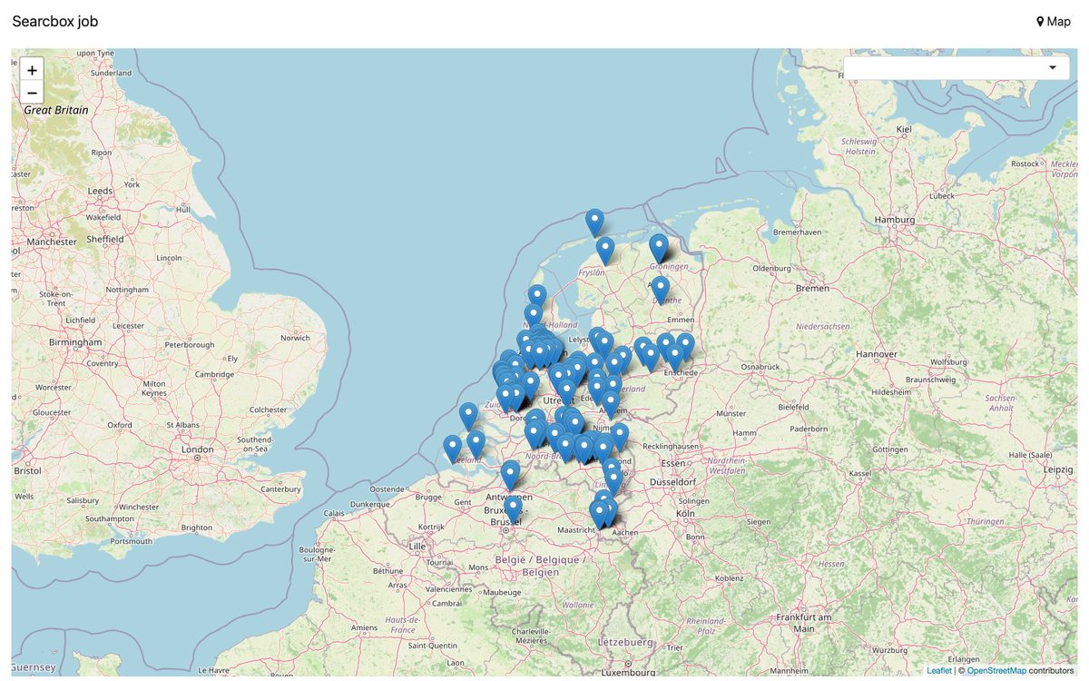
Thousands of geolocated points rendered smoothly with marker clustering and spiderfy — zoom in to break clusters apart into individual pins.
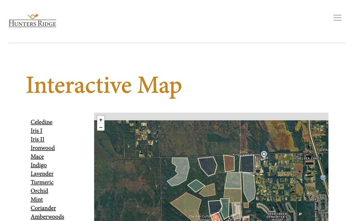
A branded community / real-estate map for the Hunters Ridge development — navigable lots and points of interest over a high-resolution satellite basemap.
A search-and-explore map with geocoding and clustered result markers, letting users find and browse locations across a region in seconds.
Real-time foreign-exchange trades streaming onto a world map, positioned by city with up / down movement indicators — a live data-visualisation concept.
Whatever your basemap or data source, I can turn it into a fast, on-brand interactive map.
Bespoke mapping UIs built on Mapbox GL, Leaflet, OpenLayers or Google Maps — tailored to your brand and workflow.
End-to-end delivery — spatial back ends with GeoServer and PostGIS, wired to a polished front end.
Choropleths, heatmaps, clustering and time-series overlays that make large datasets instantly readable.
Cinematic camera flythroughs, animated routes and story-driven map scrollytelling.
GeoJSON, WMS/WFS, geocoding, routing and live data feeds integrated into a smooth experience.
A 100% Job Success score across 78 jobs and 2,284 hours — here's a sample in clients' own words.
I've been working with Seb for a number of years. Seb is professional, efficient and great to work with.
Seb was very helpful and understood the challenge at hand instantly. He provided us with the assistance we needed in a timely and professional manner.
Excellent developer, 100% recommended.
Tell me about your data and your goal — I'll help you turn it into an interactive map your users will love. Top Rated Plus on Upwork with a 100% job-success track record, or book a 30-minute consultation to talk it through.